In Spring 2019, members of KSCA began working on something new: the Capertee Valley Hydrology Project.
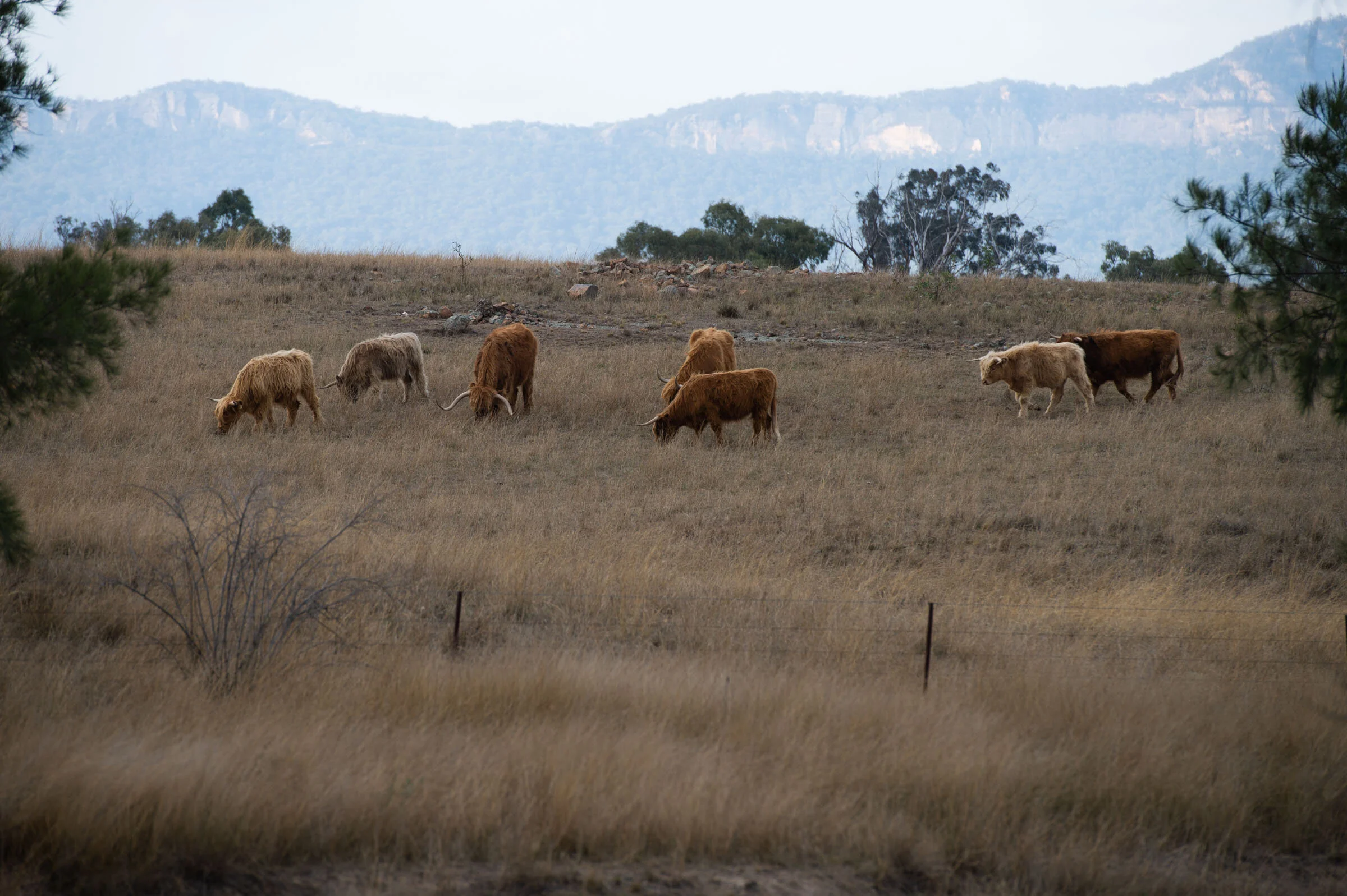
The Capertee Valley is a forcefield of beauty that conjures many clichés, beloved by a small and dispersed community of residents connected to farming, mining and conservation… and many other things. Between November 2019 and January 2020 multiple bushfires threatened to descend the surrounding escarpments into the valley. This was resisted through an enormous coordinated effort of the community. Flames and smoke were a permanent feature of the landscape, local volunteer firefighters responded to countless spot fires down in the fields, and many people had to evacuate several times. It wore away at the Valley community, but also brought its members closer together, as crises often do.
But even before the fire season began, the community was in a vulnerable state. The drought is making farming and other businesses unviable. Members of Capertee Valley Landcare, led by Kerrie Cooke and Julie Gibson, began dreaming of a project that could raise the morale of the community and regenerate the Valley environment. This is how the Capertee Valley Hydrology Project got going. Read on below for an overview of the project, or check out our recent blog posts:


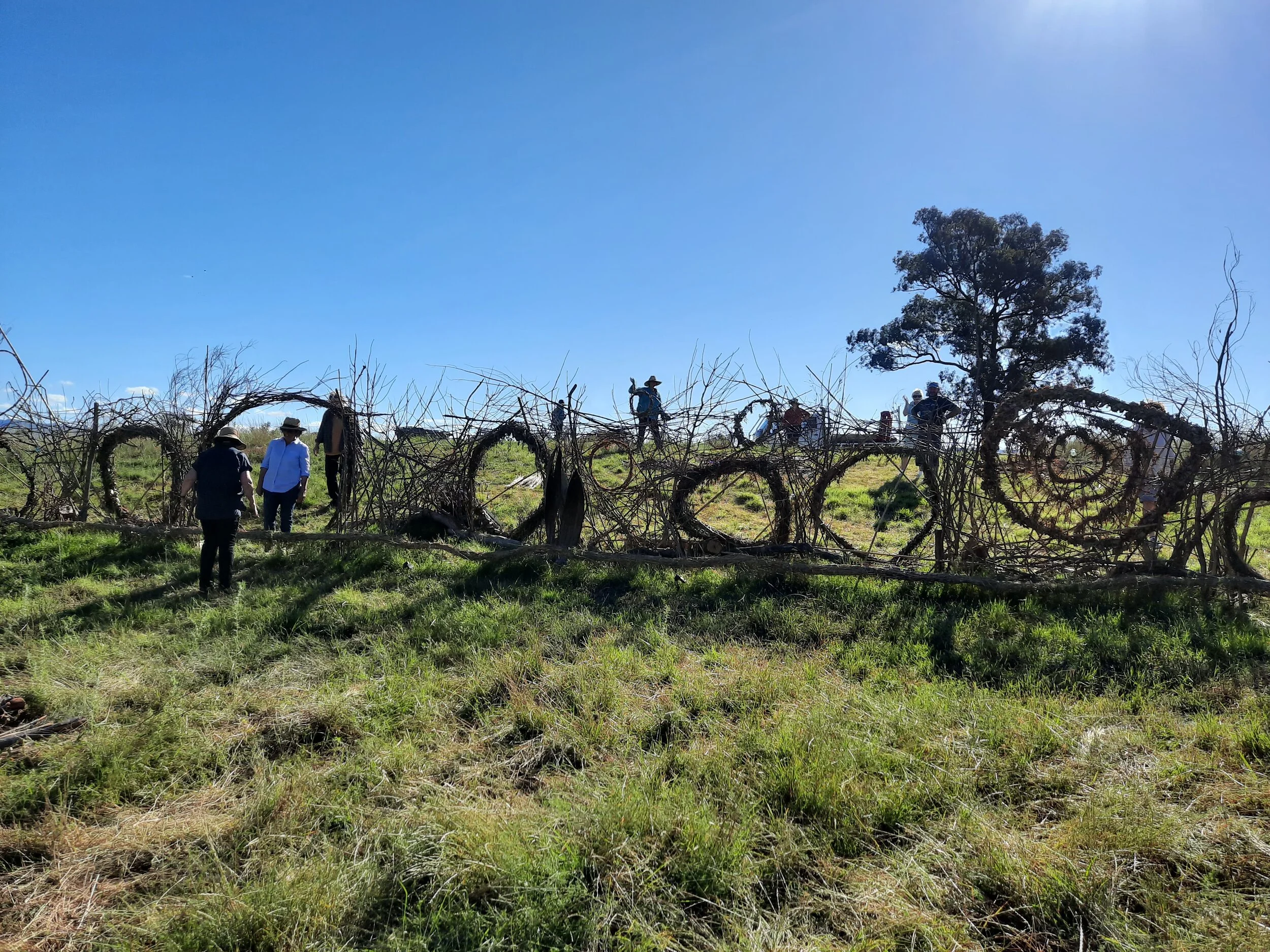


Some of the key individuals involved: Kerrie Cooke of CV Landcare, master weaver Peter Williamson, KSCA artists Leanne Thompson and Georgie Pollard, and traditional custodian Peter Swain.

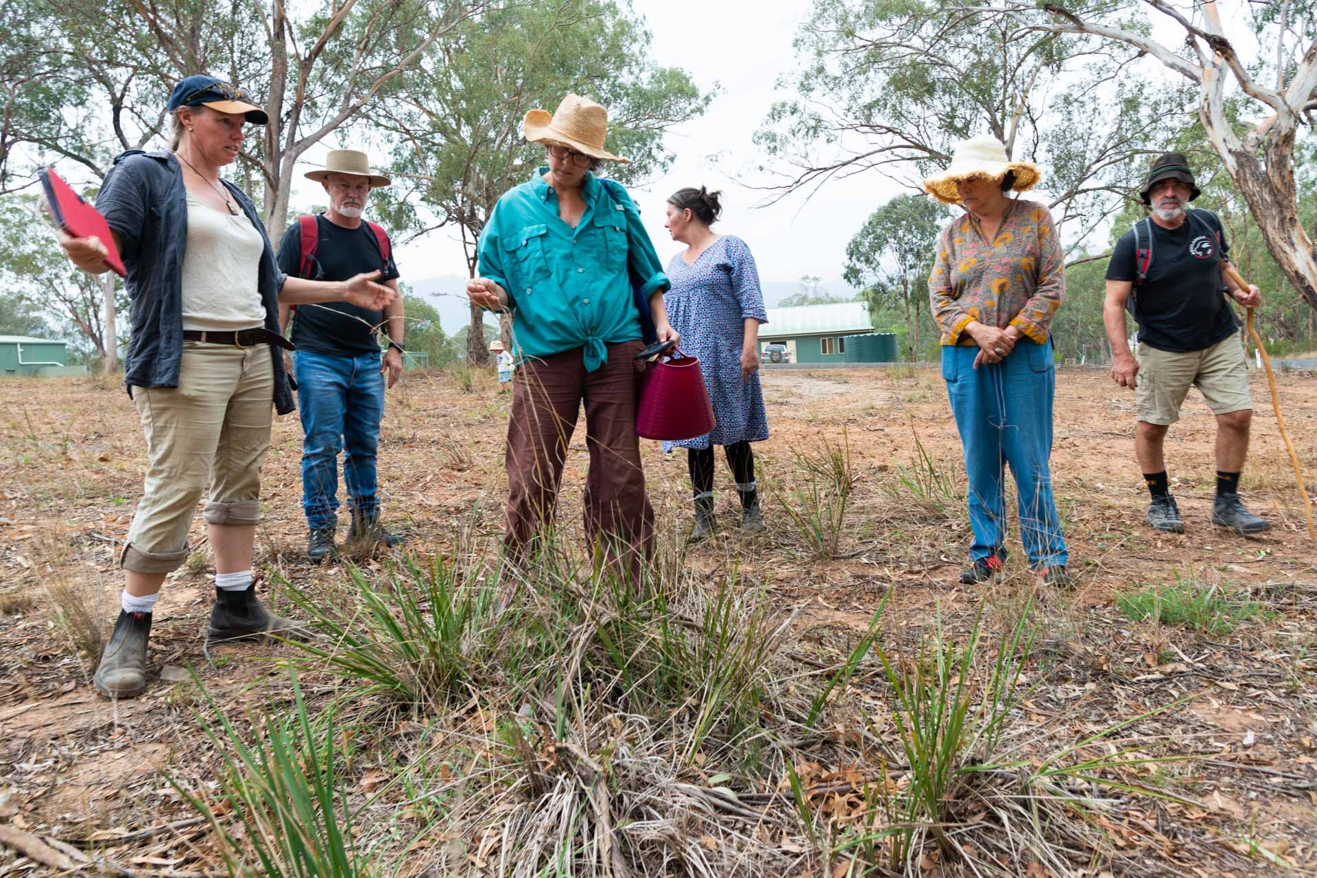
Looking at a stand of phragmities (wetland grasses) in a Valley creek that has sprung up after the owners began to ‘slow the flow’ by installing small leaky weirs.

Many of the waterways in the Capertee are terribly eroded and have lost ecological function. Once upon a time, the Valley floor was an enormous spongy floodplain, dotted with wetlands. The damage of course began with the arrival of European animals, and the widespread clearing of native vegetation. The early settlers had a bountiful resource for cattle and crops but didn’t understand how the hydrology of the landscape worked. Clearing reeds from the river bed and flattening out the chains of ponds to create what looked more like an English stream turned those waterways into drains. Now, water flows straight out of the Valley via the Capertee River to the Colo River and into the Hawkesbury and thus to the ocean. Very little is absorbed by the land itself. Some landowners have begun remedial works already, but fence-lines get in the way: there’s a limit to what you can achieve if your neighbour isn’t on the same page. The aim of this project is to get as many people as possible working together to restore the waterways across the entire catchment. The critical thing that needs to happen is that the flow of rainwater is slowed, everywhere: in creeks, tributaries, eroded gullies, everywhere. The hydrating effects of this will support nature’s own regenerative processes.
But what are the chances of a project of this scale succeeding? There is, in fact, a brilliant template: The Mulloon Community Landscape Rehydration Project (MCLRP), near Canberra. Here, 20 landholders have been working to rebuild the natural landscape function of the entire Mulloon catchment, implementing the techniques of natural sequence farming (NSF). This project spans 23,000 hectares, and is restoring the tributaries, floodplains, wetlands, hills and woodlands connected to 50km of Mulloon Creek. This project is now a scientifically benchmarked ‘proof of concept’ for catchment-wide projects, and its success has provoked the Mulloon Institute to set itself the task of supporting and facilitating ‘100 Landscape Rehydration Projects in ten years’.
CVLandcare reached out the Mulloon Institute for guidance and inspiration: maybe the Capertee could be the site of one of these projects? In November 2019, Peter Hazel, who oversees the MCLRP, come to the Valley to share some knowledge at the first event of the Capertee Valley Hydrology Project. This beautiful evening event also demonstrated the role that art will play in this project: you can learn about the illuminated creek installation KSCA artist Leanne Thompson created (Leanne is a new landowner in the Valley) at her blog here.
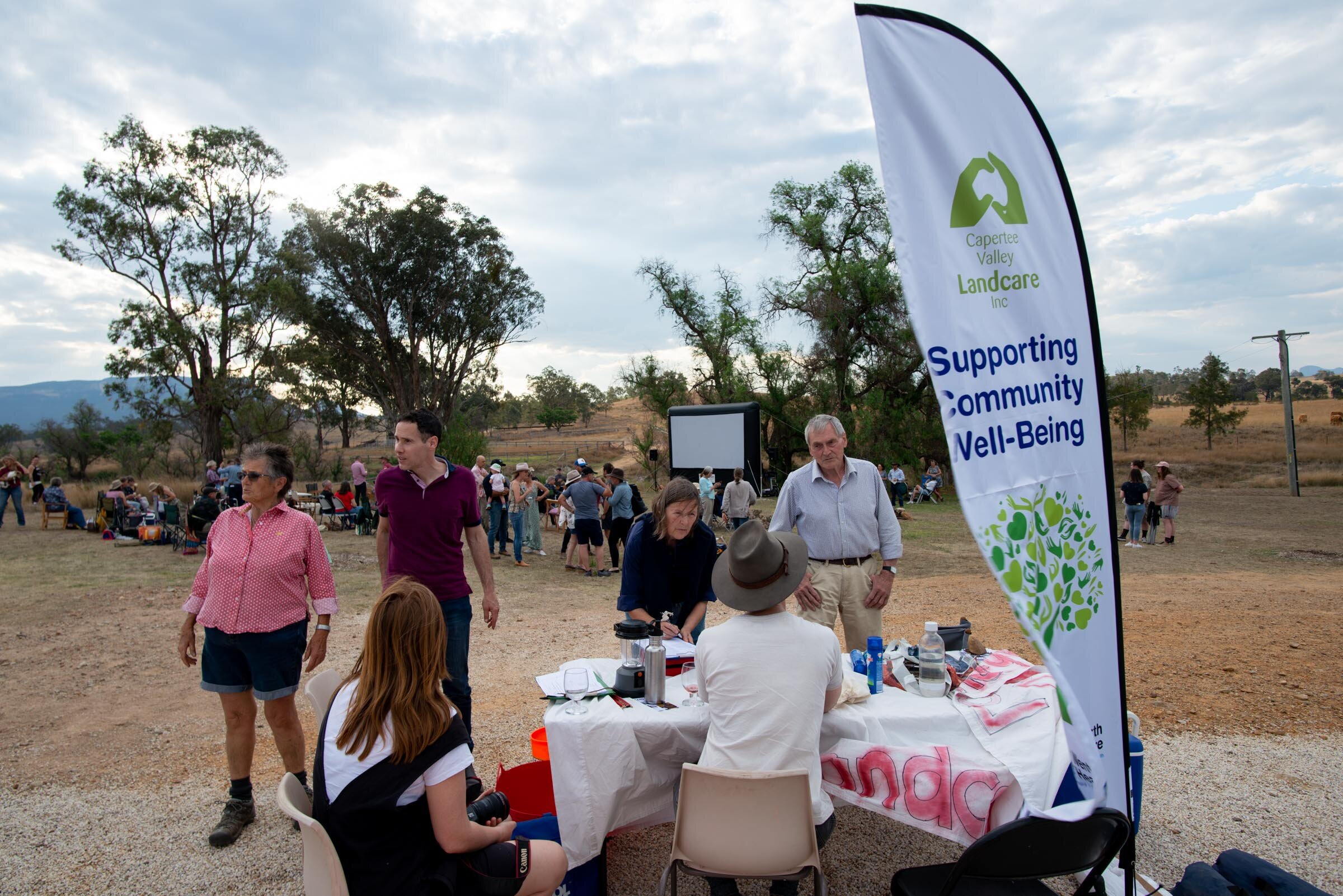

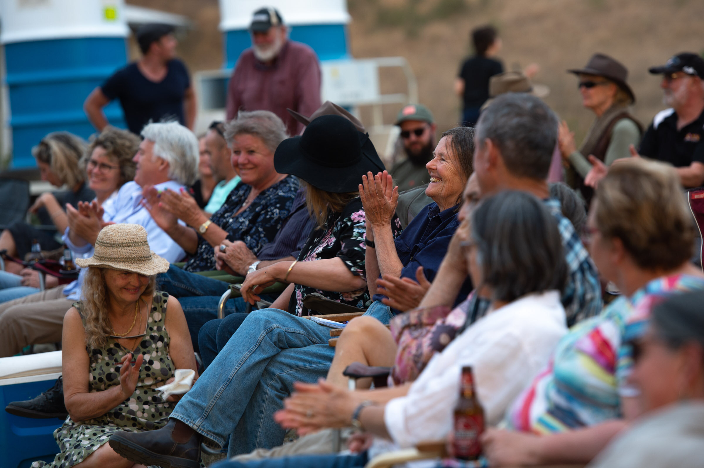
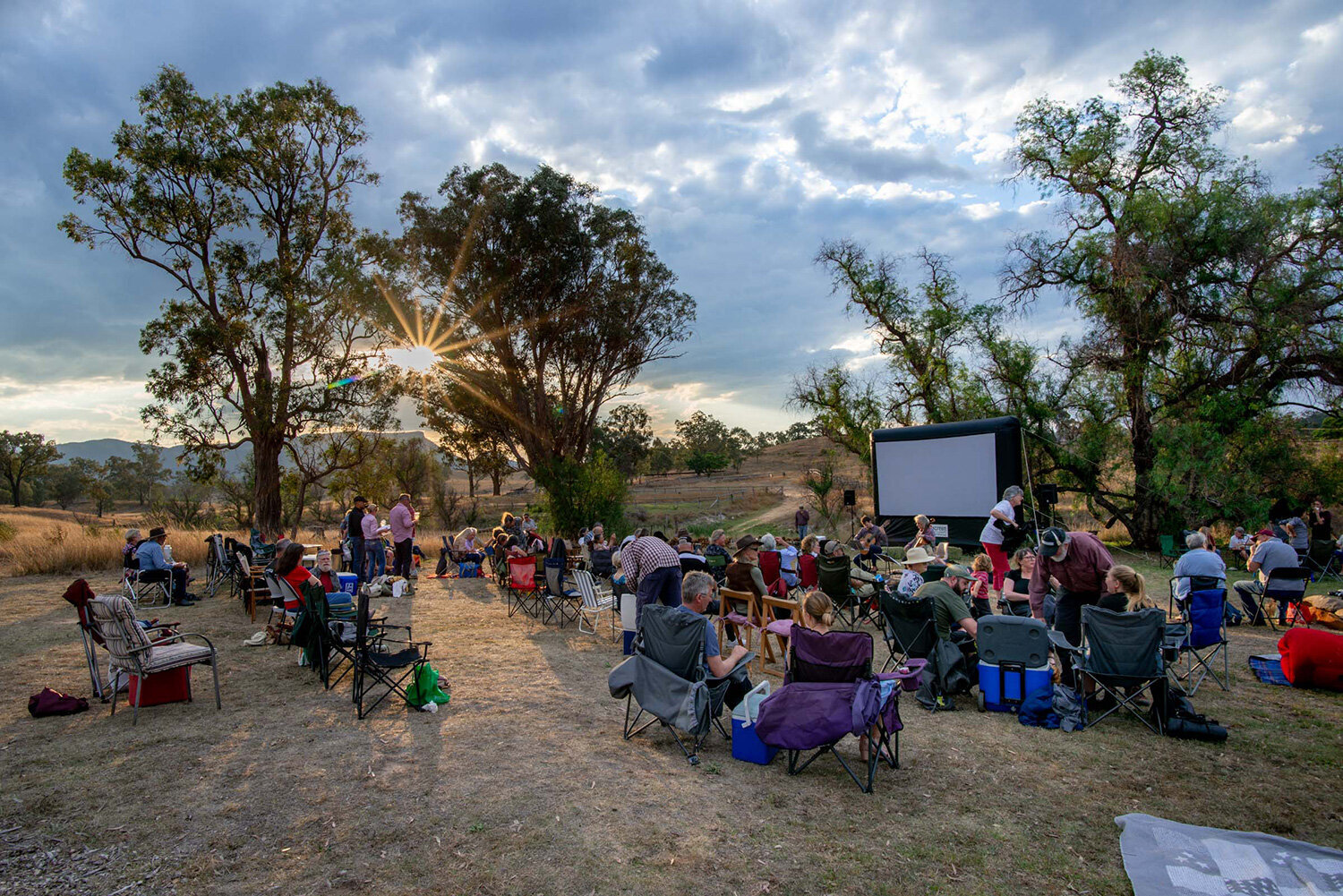
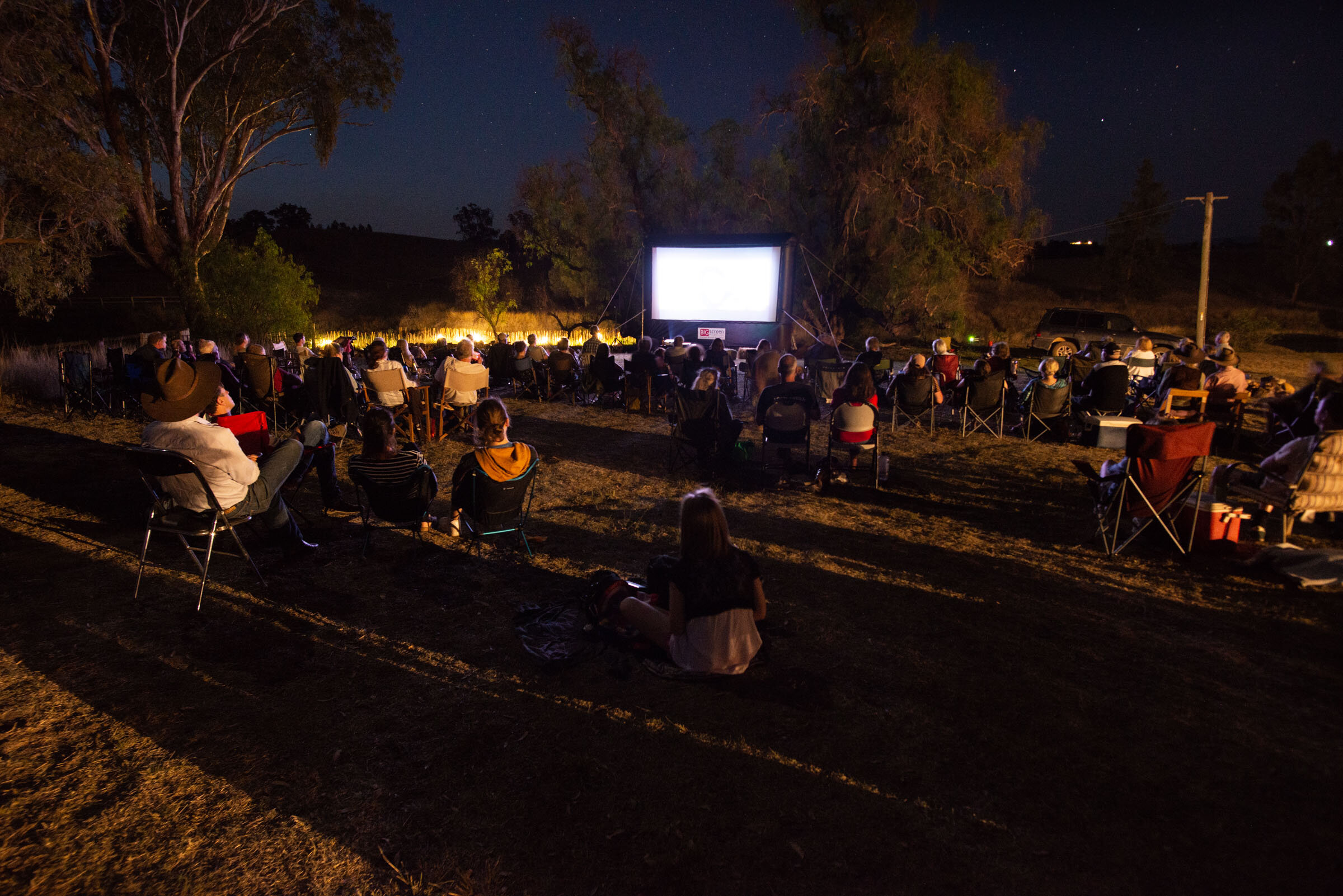
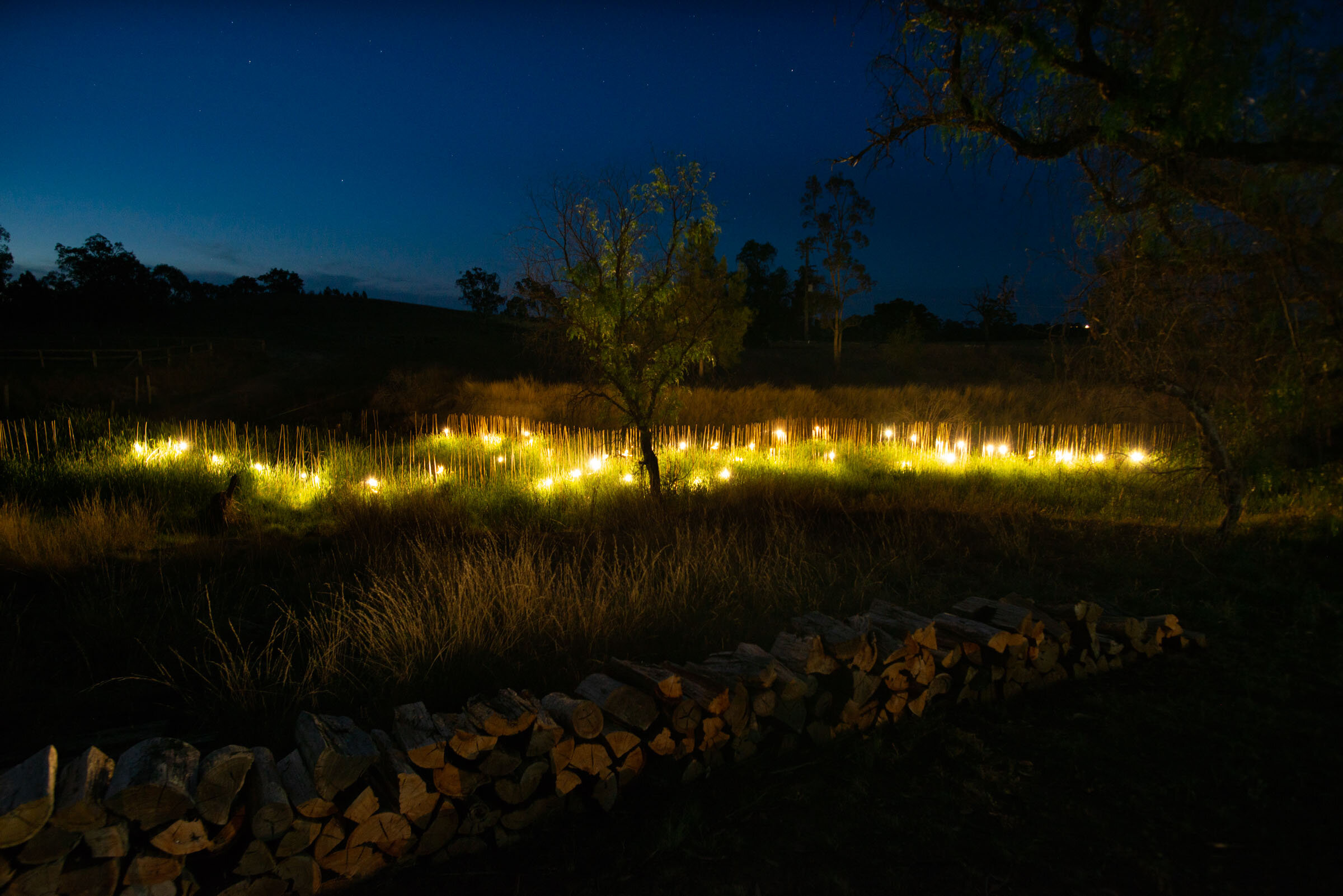
Pictures from the first event, showing Peter Hazel, Leanne’s artwork, and the open-air screening of the film 2040.

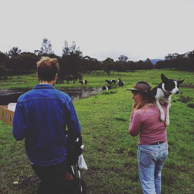
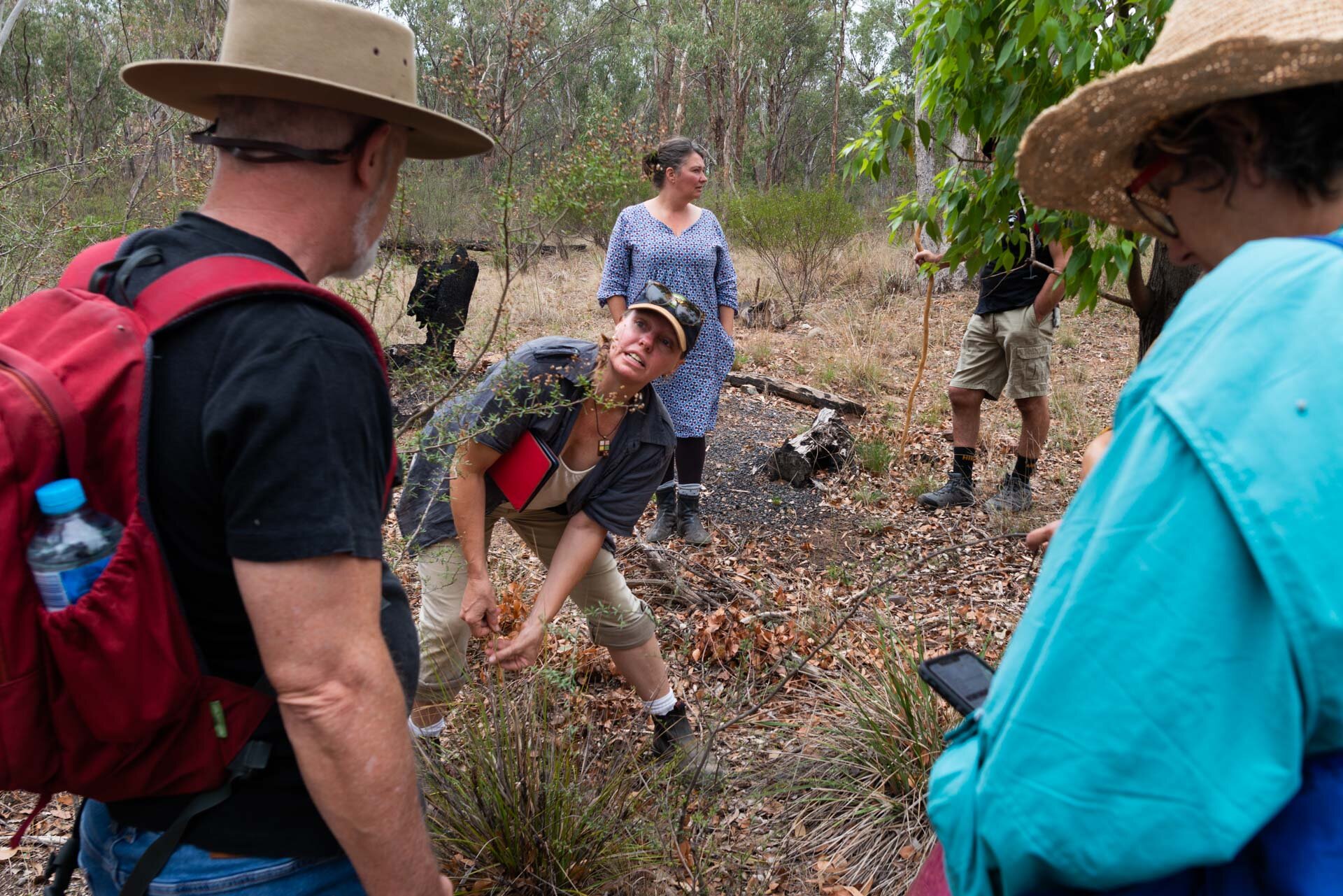
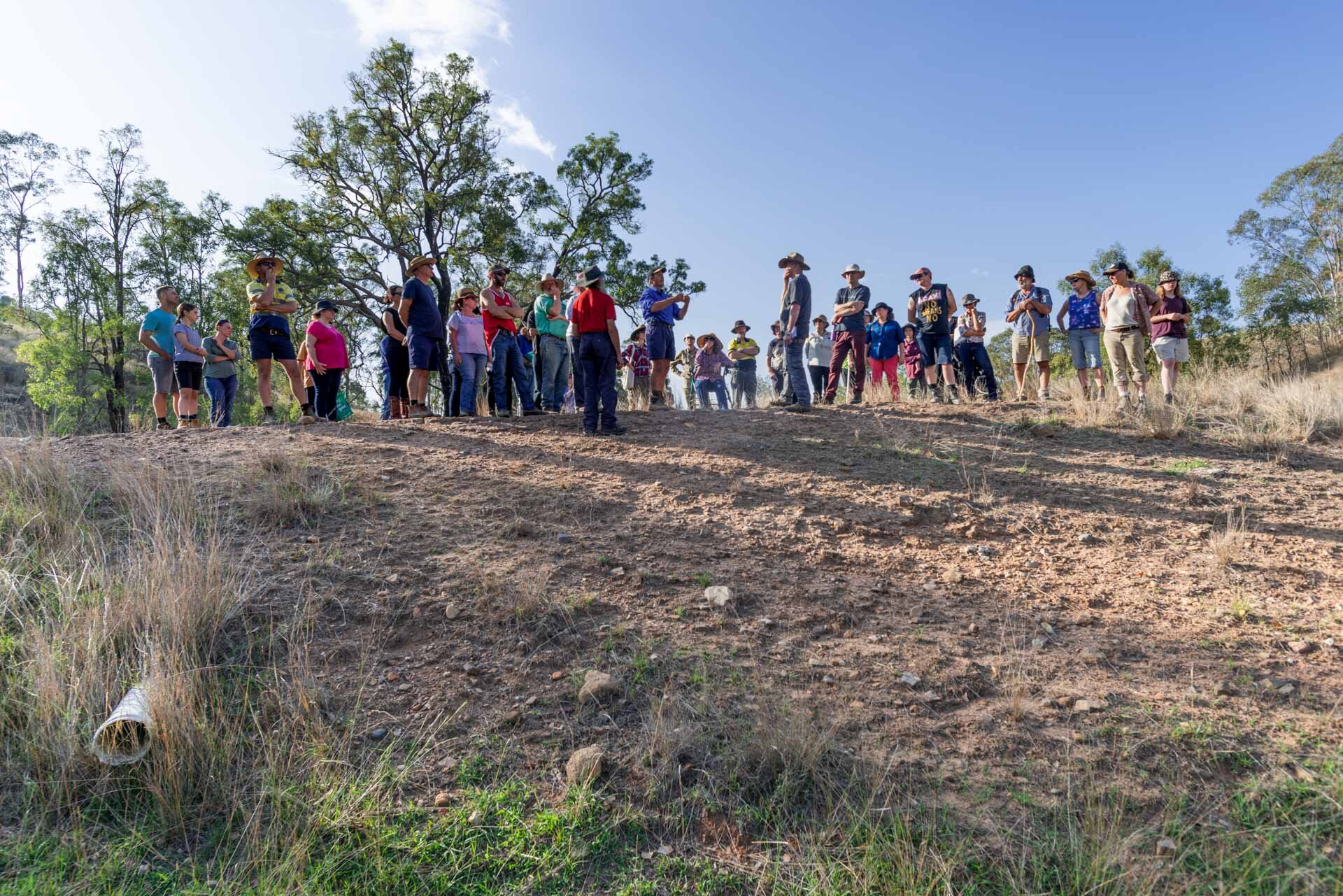
CVLandcare also roped in Stuart Andrews, NSF educator, who has a property close to the valley (and who KSCA friends would remember from the Hemp Initiative and Futurelands2). In late January 2020, Stuart gave a presentation to a packed Glen Alice hall about natural sequence farming. At this event, Georgie Pollard, the other KSCA artist involved in the project, displayed an enormous chalkboard map of Capertee’s waterways and began gathering stories of people’s relationship to water in the Valley. The following morning, Stuart took the audience to two properties to demonstrate how to read water flows in the landscape and what can be achieved as soon as that water is slowed down.


It feels like a blessing to be able to contribute to this project given the concerns we all share around the post-bushfire recovery of landscapes across the country. As with other KSCA projects we’ll be blogging along the way, doing educational activities and inviting people to events. We will take the extra step of hosting working bees to assist with activities that can ‘slow the flow’ of water on people’s properties. If you would like to be involved, please send an email to info@ksca.land and we’ll put you on a special mailing list. Alongside CVLandcare and KSCA, the other collaborators and partners on this project are Cementa, Wentworth Healthcare, Lithgow Council, the Rural Adversity Mental Health Program, the Rural Arts Fund, the Malloon Institute, Tarwyn Park Training and many volunteers.